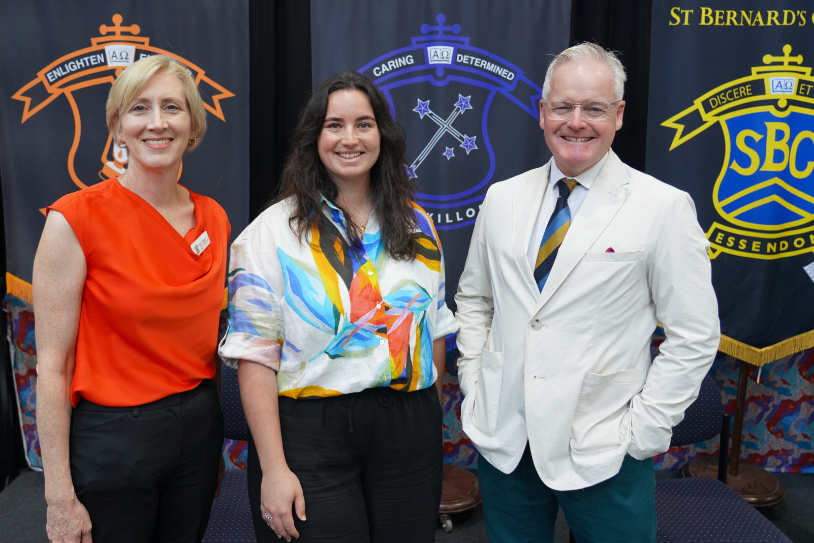
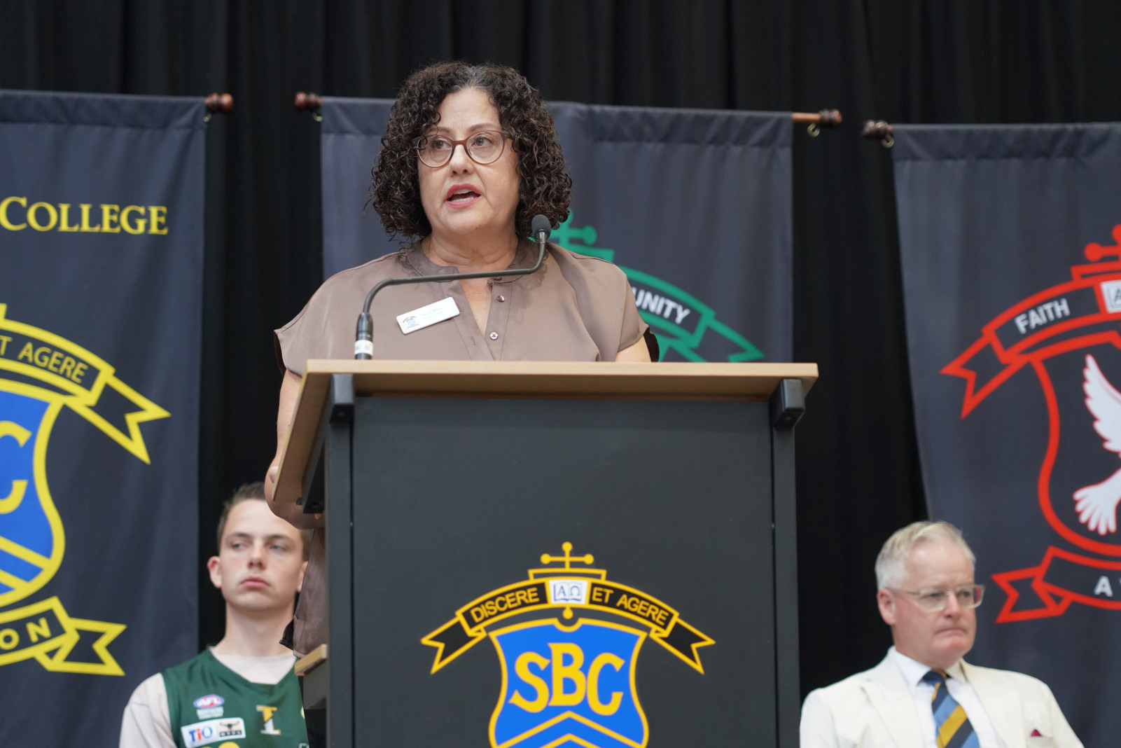
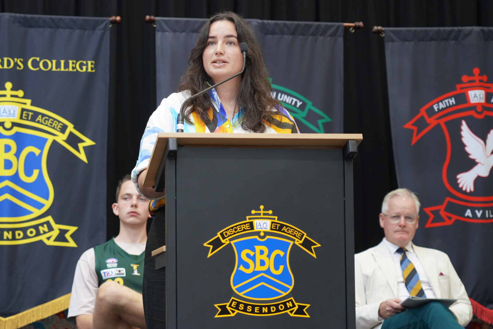
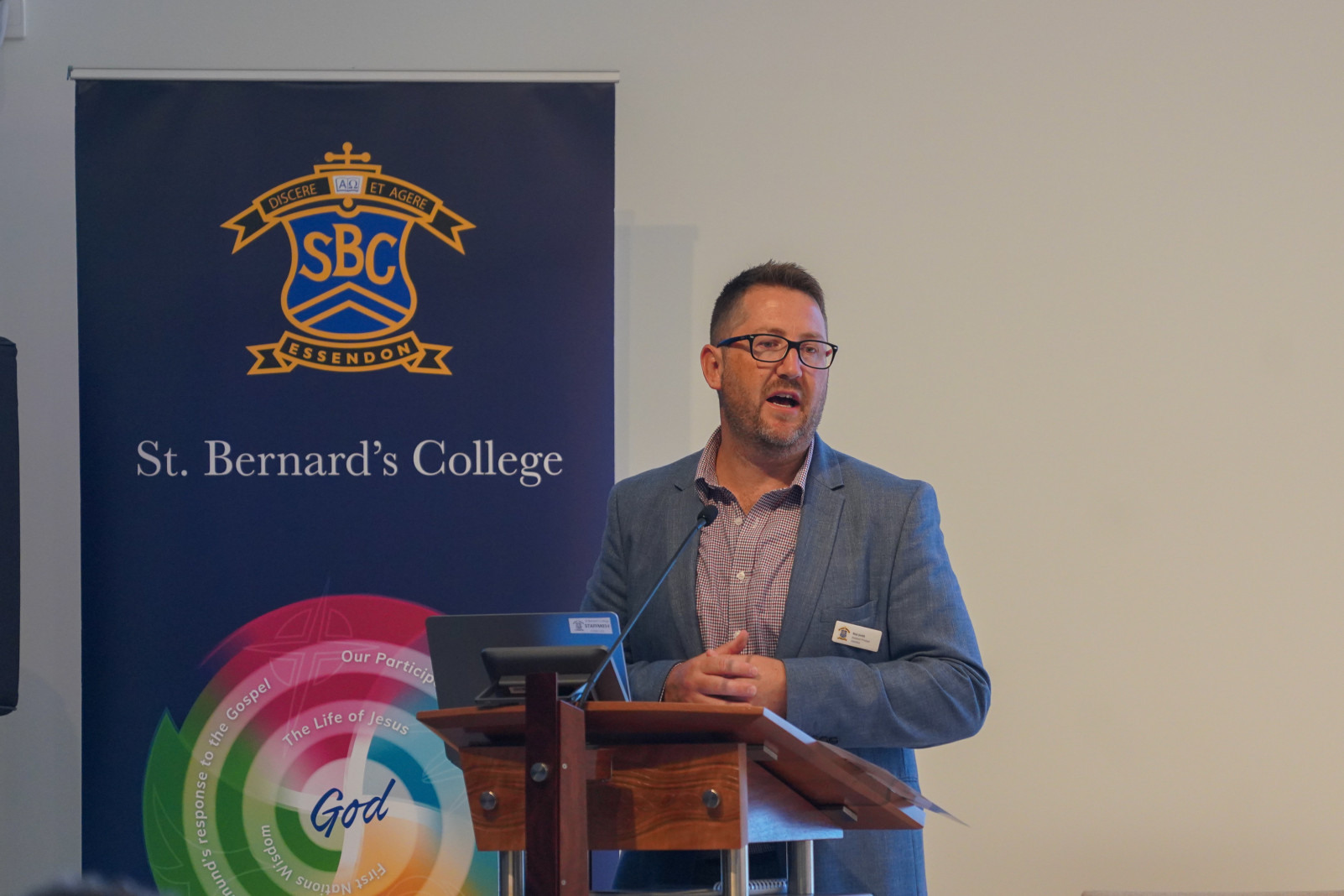
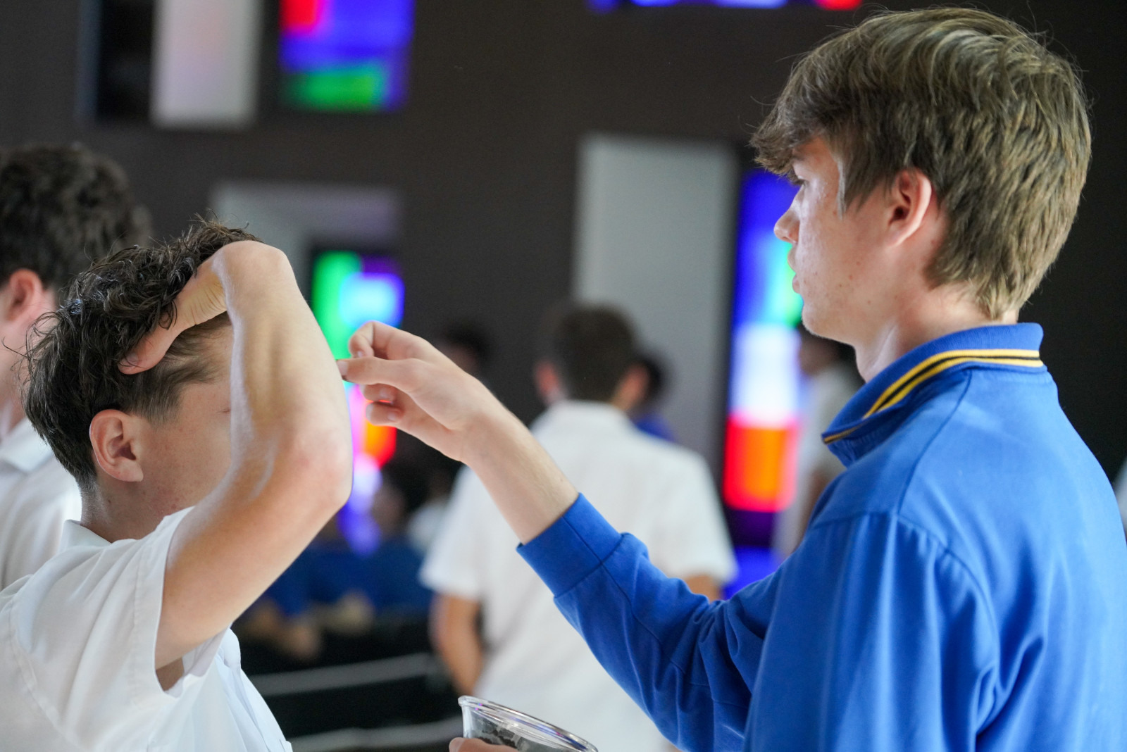
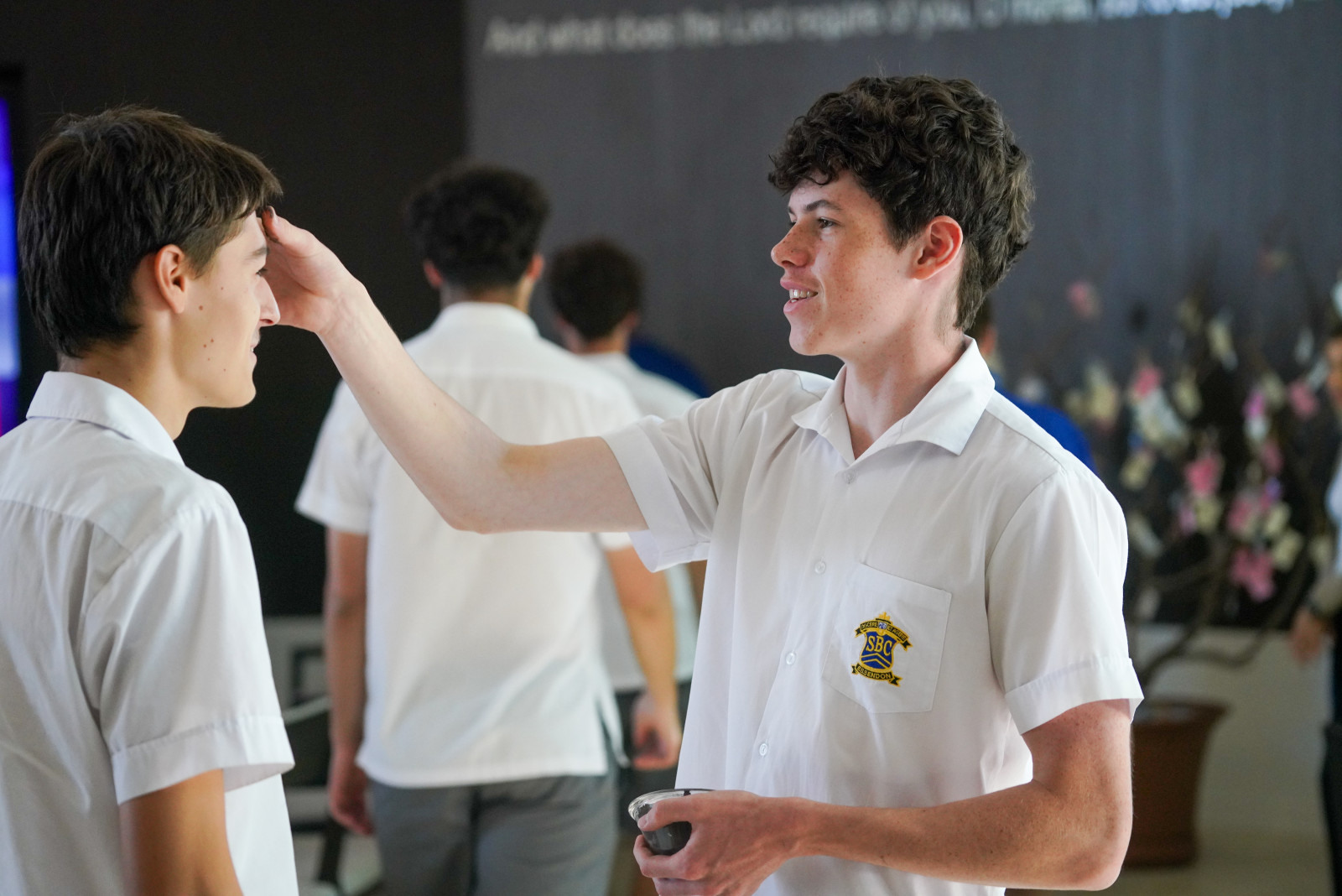
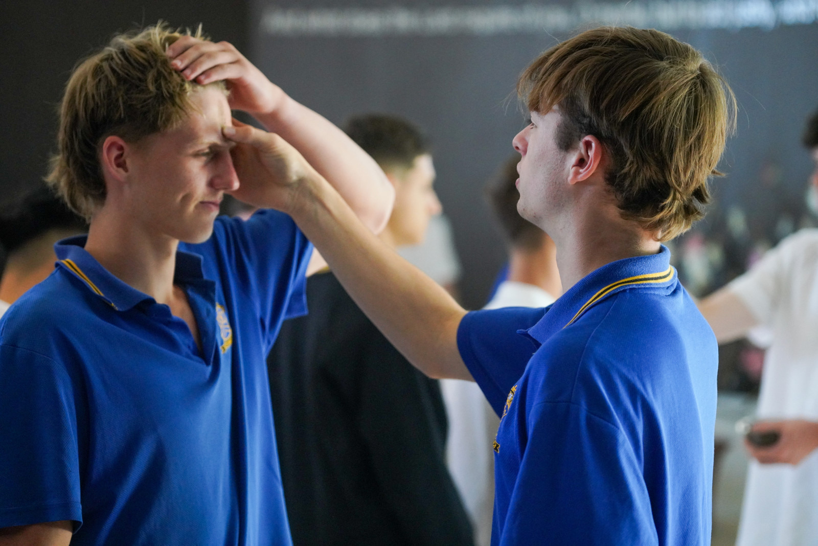
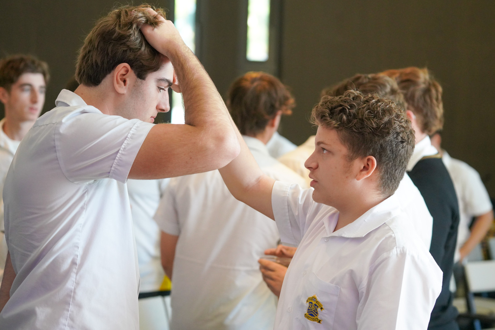
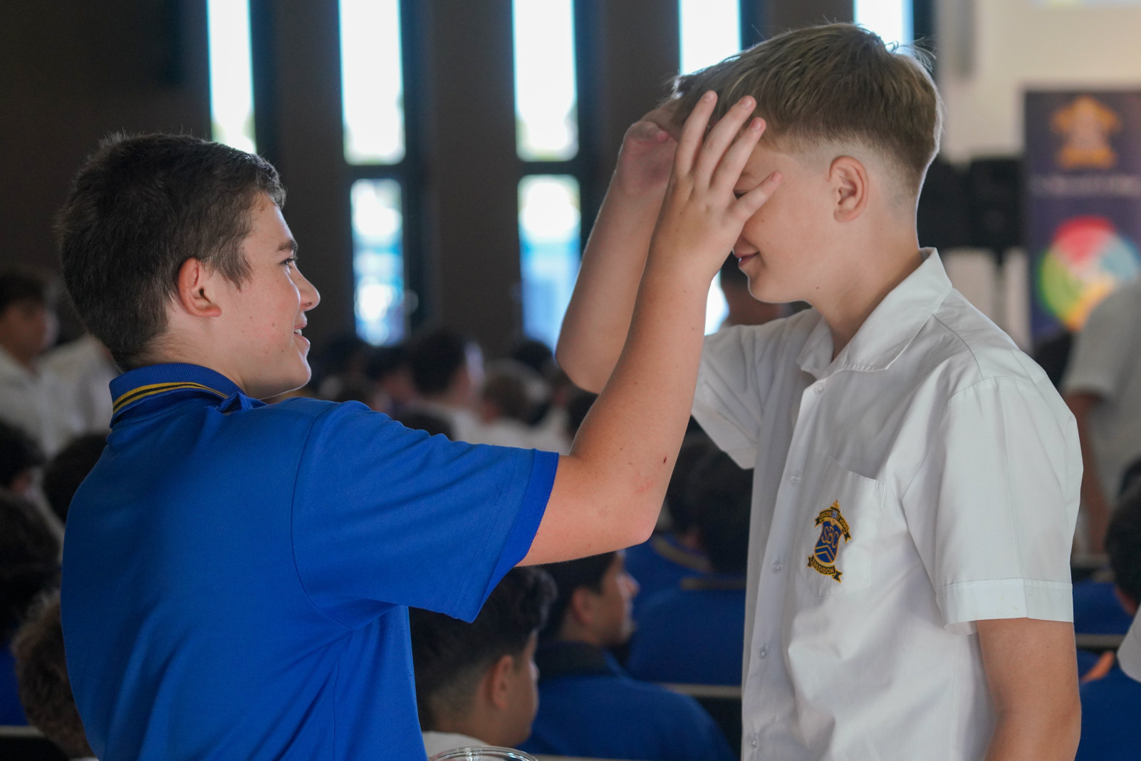
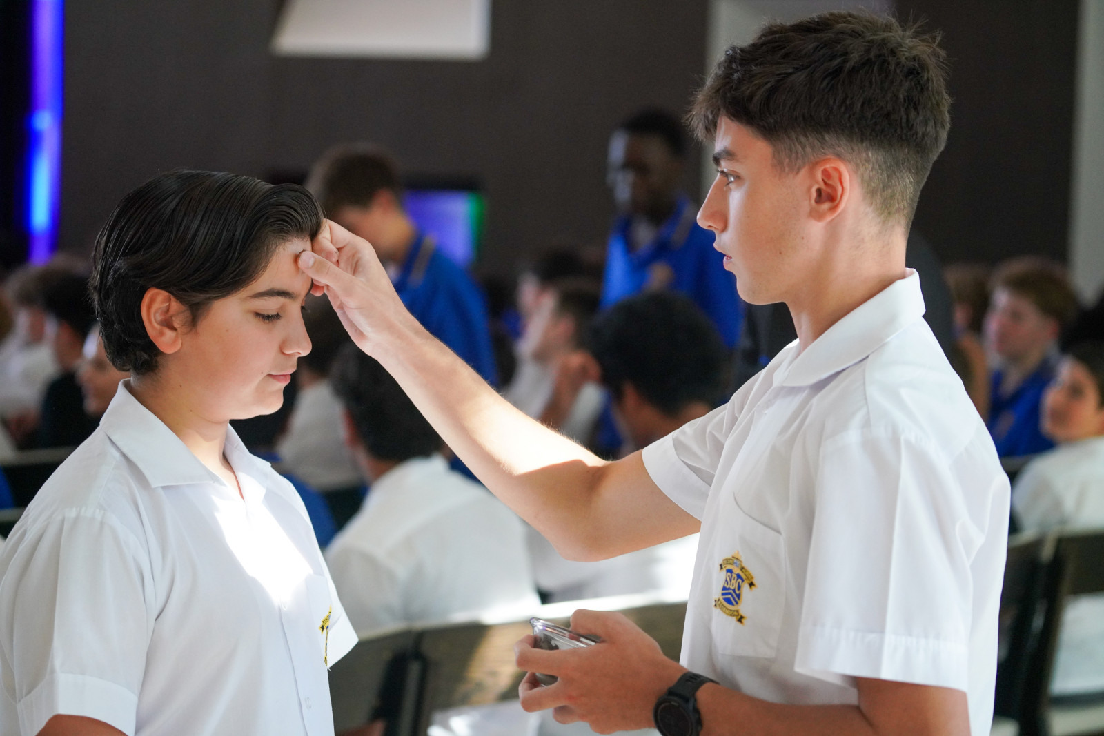
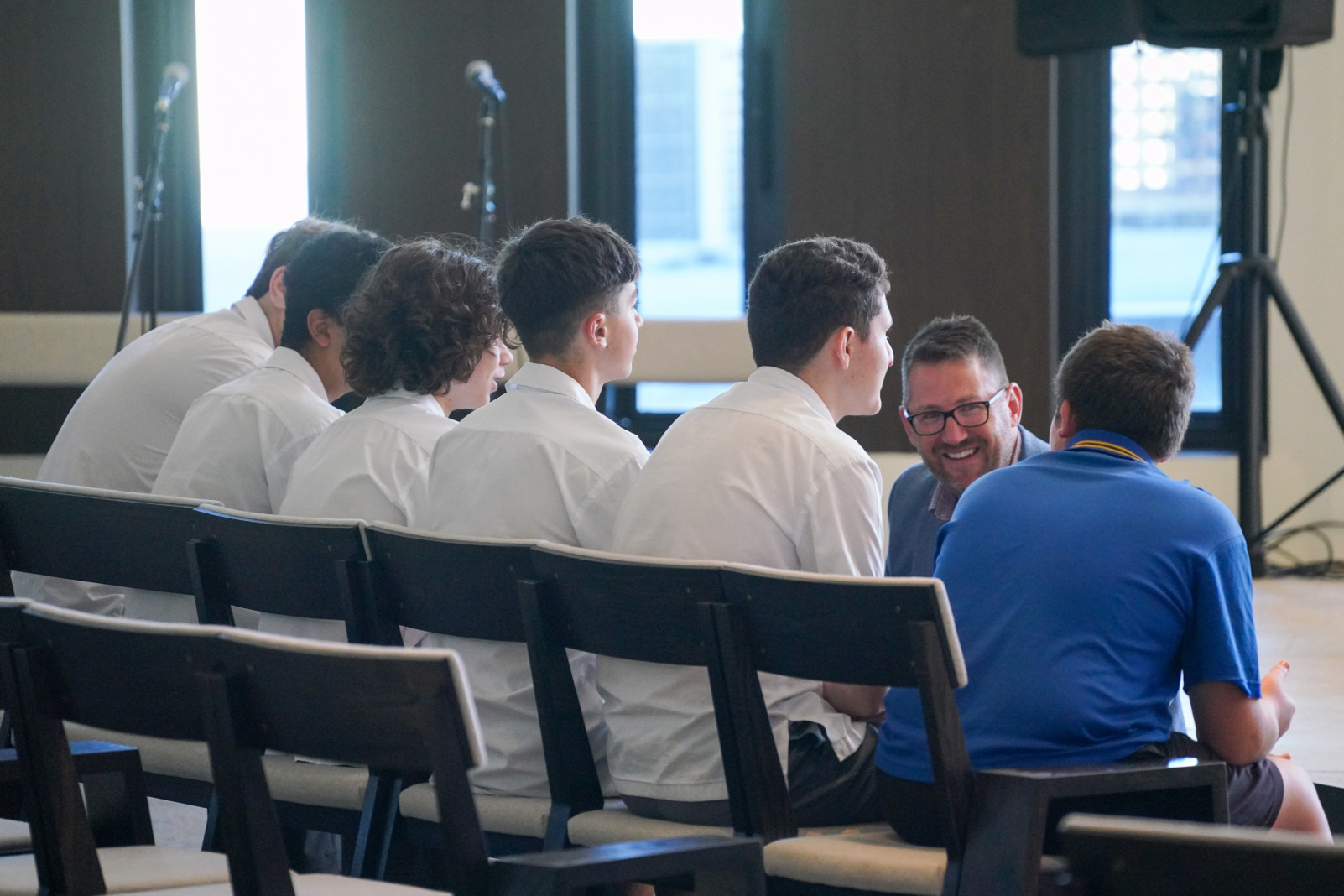
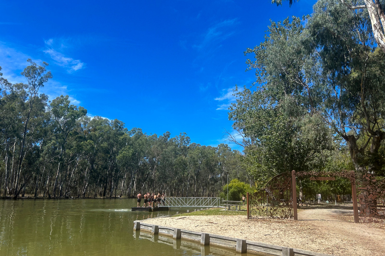
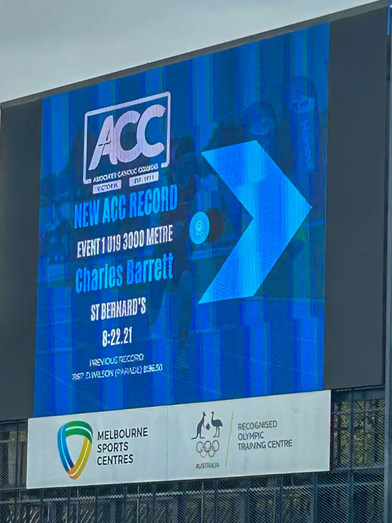
On 21 February 2025, St Bernard's College proudly hosted the High Achiever Academic Awards Assembly for the Class of 2024 in the O’Brien Centre Gymnasium. This significant event brought together a distinguished ensemble of guests, including School Advisory Council Chairperson Ms Pauline Duggan, Ms Jane Collins from the Tertiary Preparation Program at RMIT University, and representatives from EREA, alongside the award recipients and their families.
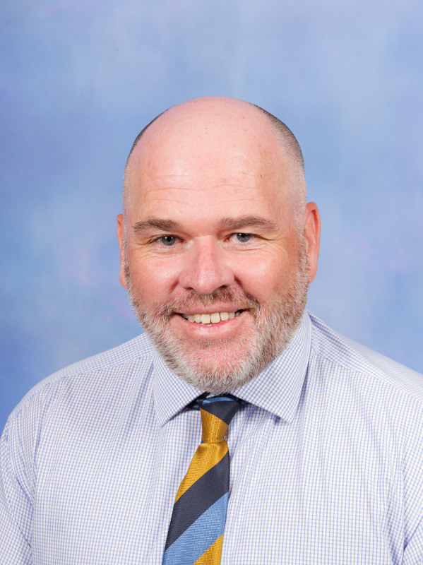
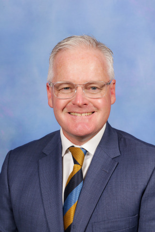
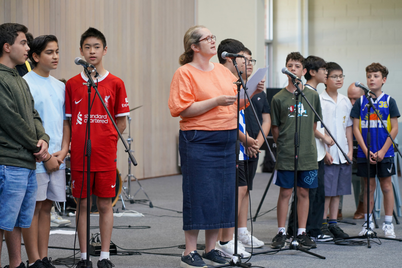
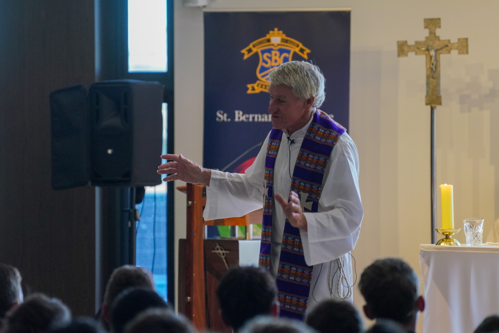
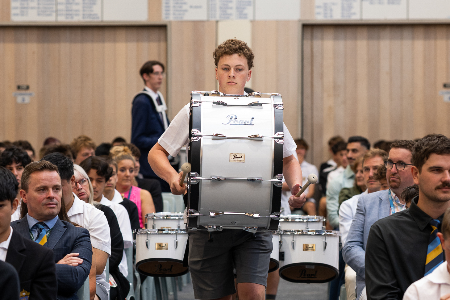
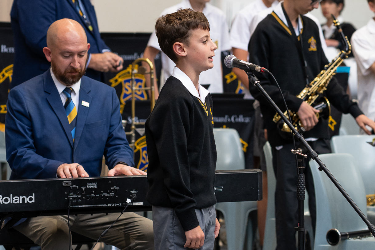
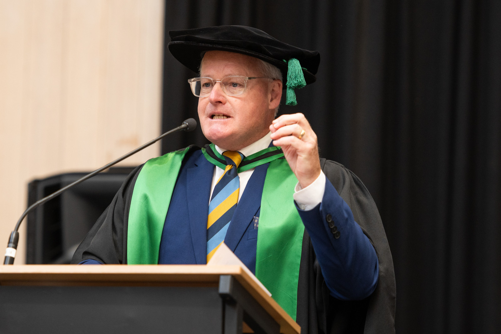
The ceremony commenced on a vibrant note with a captivating performance by the St Bernard's College Drumline, setting an energetic atmosphere. Attendees were then treated to a poignant rendition of the Australian National Anthem, beautifully performed by student Elijah. Principal Dr Michael Davies addressed the gathered audience, celebrating the extraordinary dedication and perseverance exhibited by the students throughout their academic journey.
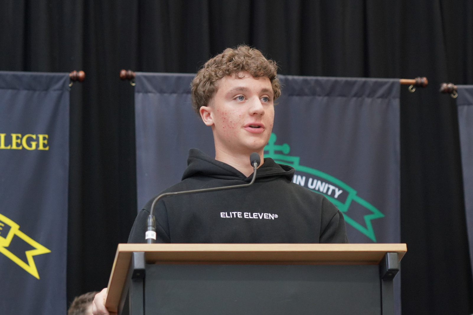
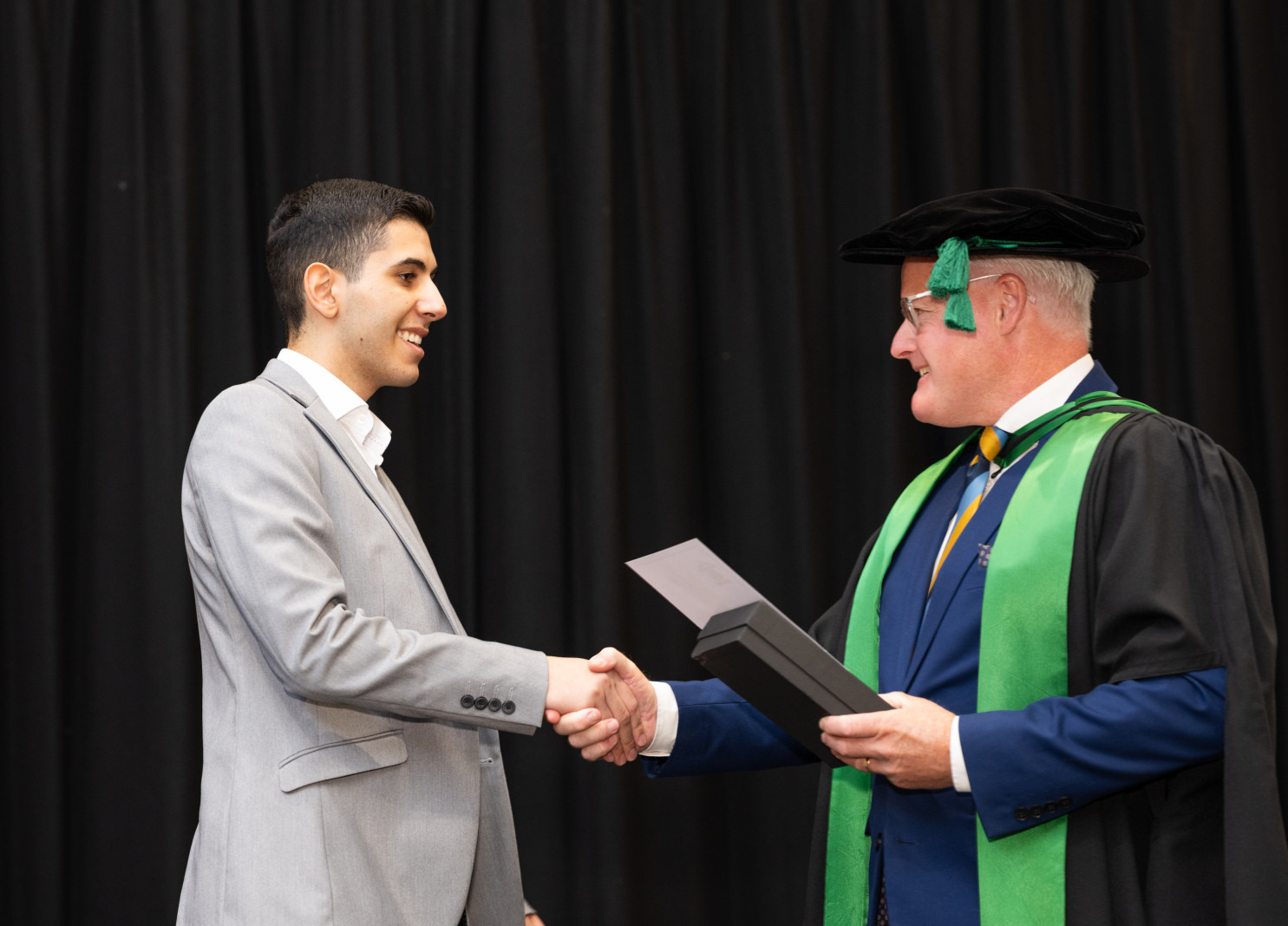
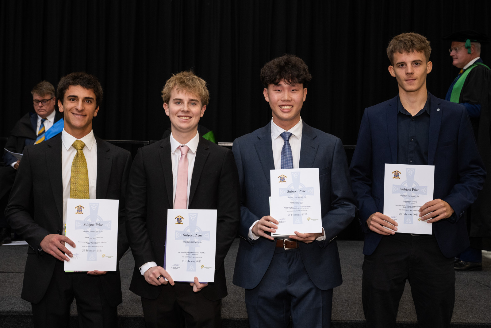
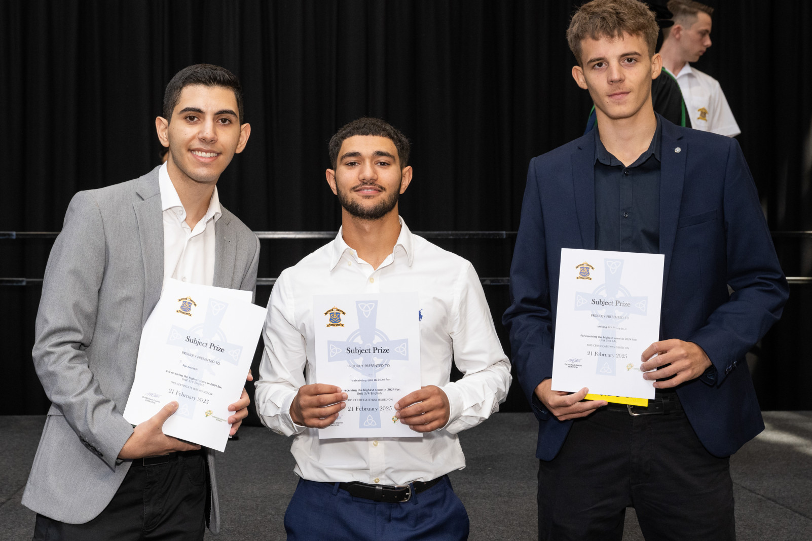
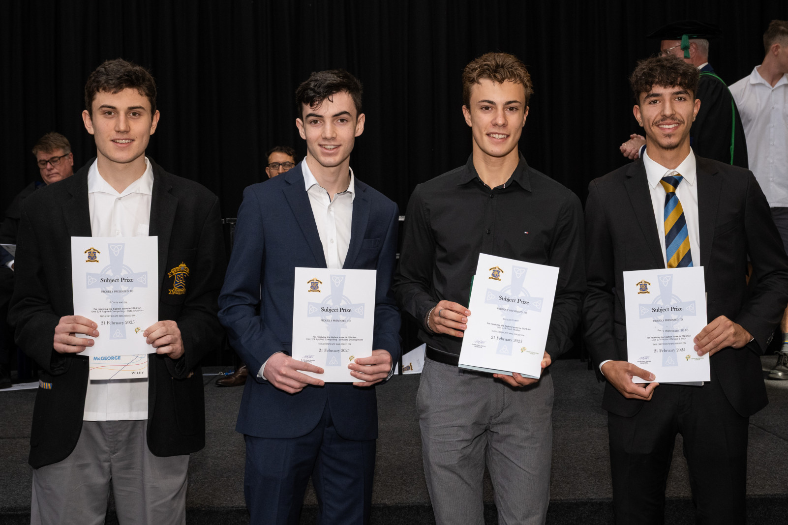
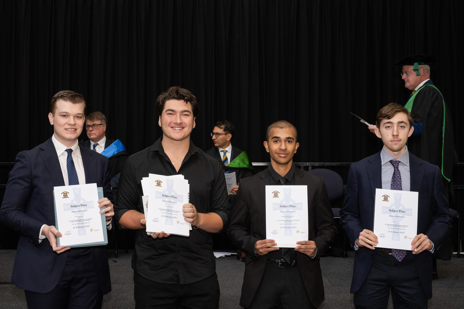
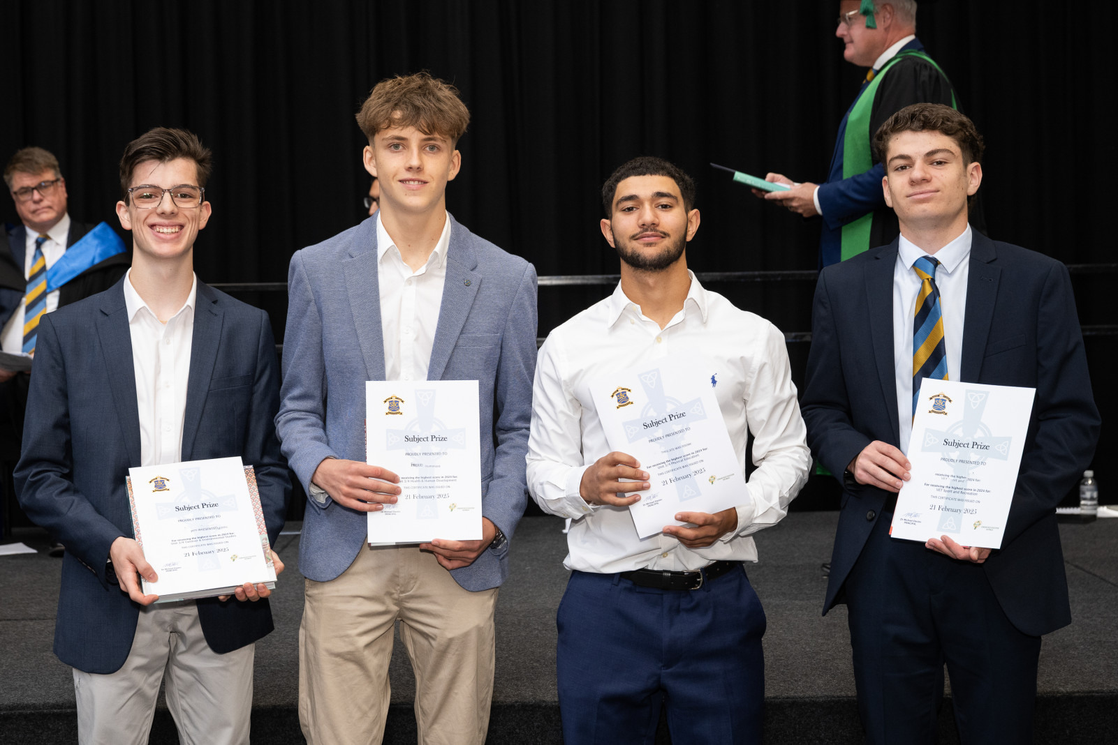
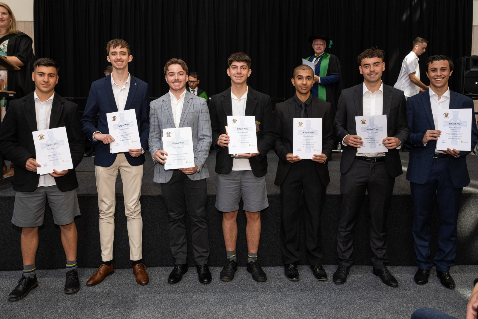
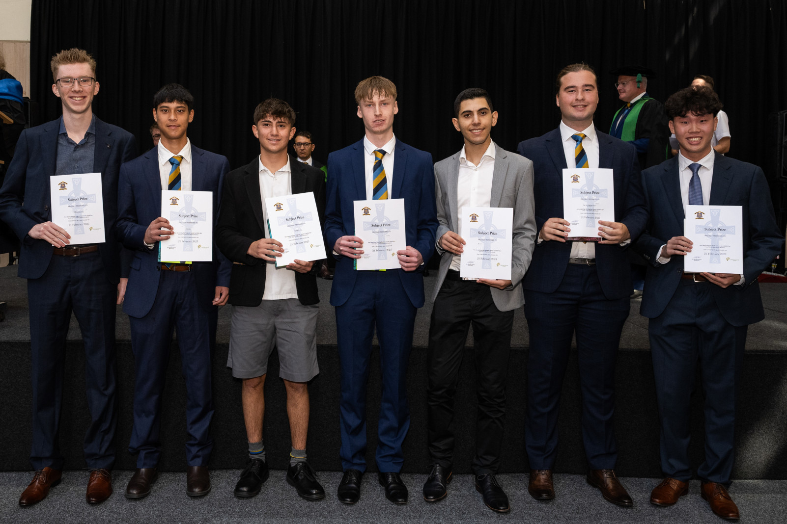
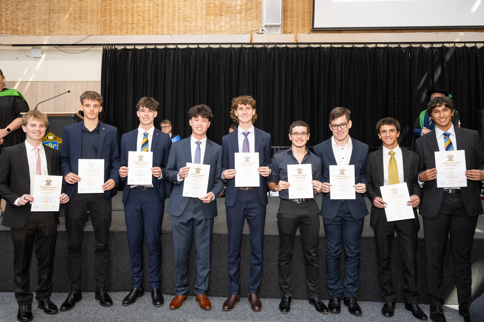
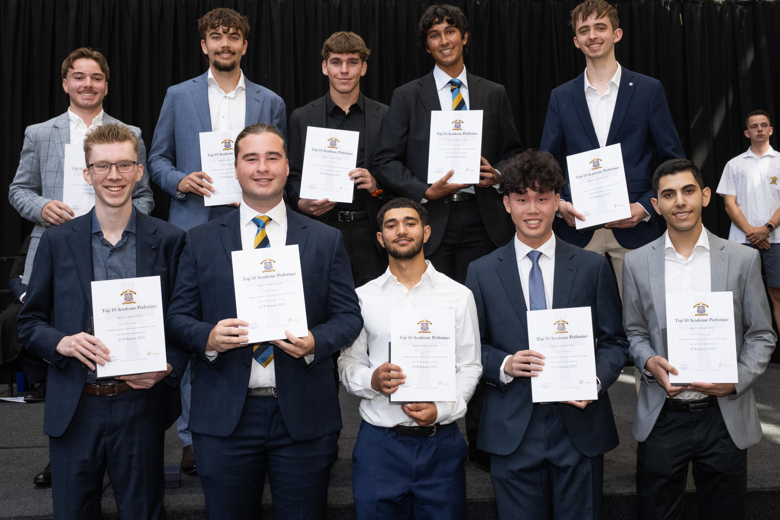
A central highlight of the assembly was the recognition of outstanding academic achievement. Award presentations honoured the Unit 3/4 Subject Prize Winners, which included Year 12 students and accelerated Year 11 students who attained exceptional results in their studies. The assembly also celebrated nine outstanding students with the VCE Baccalaureate Award, a prestigious honour that acknowledges those who complete the Victorian Certificate of Education with excellence in higher-level mathematics and a language, fulfilling rigorous academic criteria.
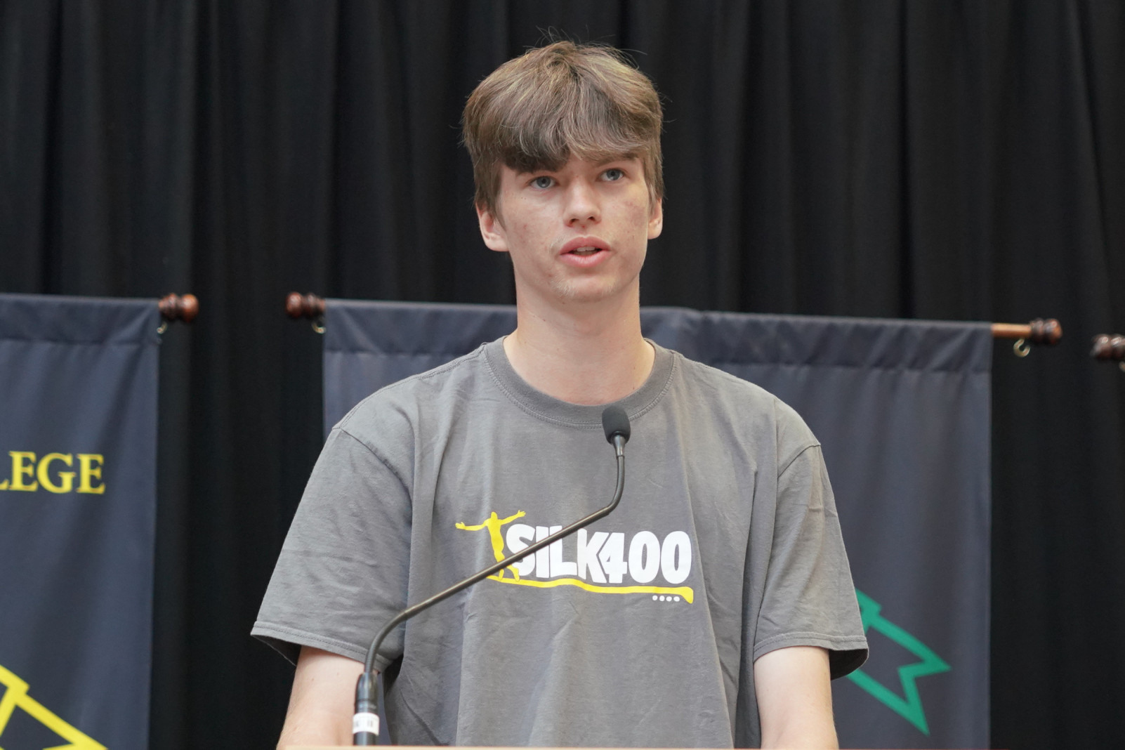
In a testament to the College's commitment to nurturing creativity, the announcement of the Short Story Competition Winner illustrated the emphasis St Bernard's places on literary development. This initiative encourages students to explore their imagination and articulate their unique perspectives through the art of writing.
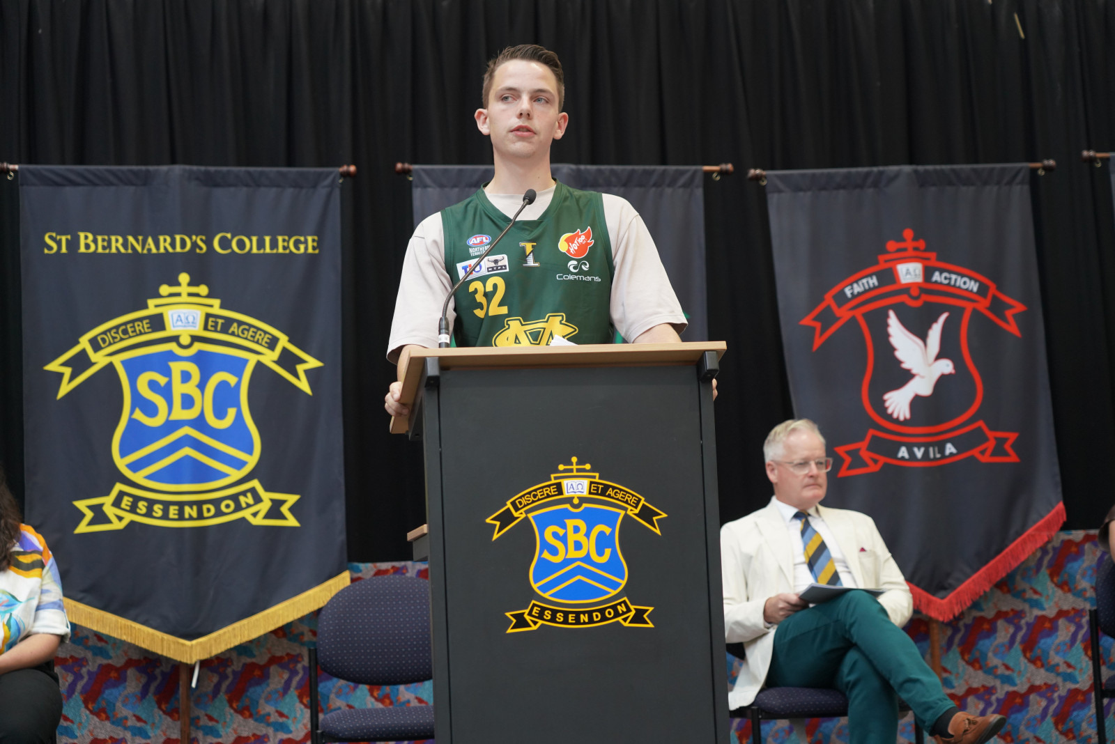
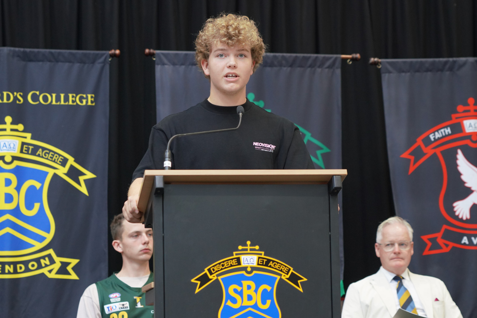
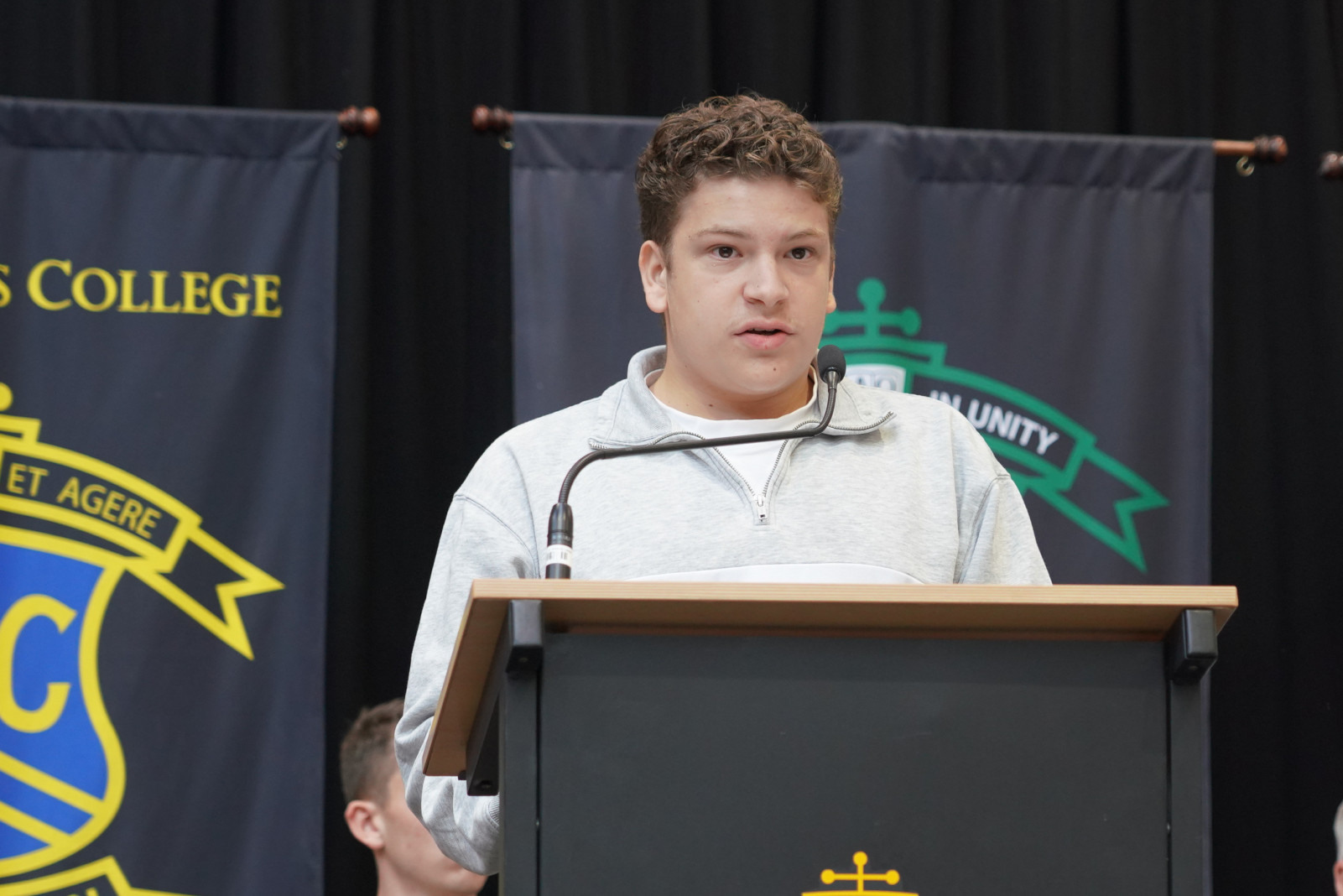
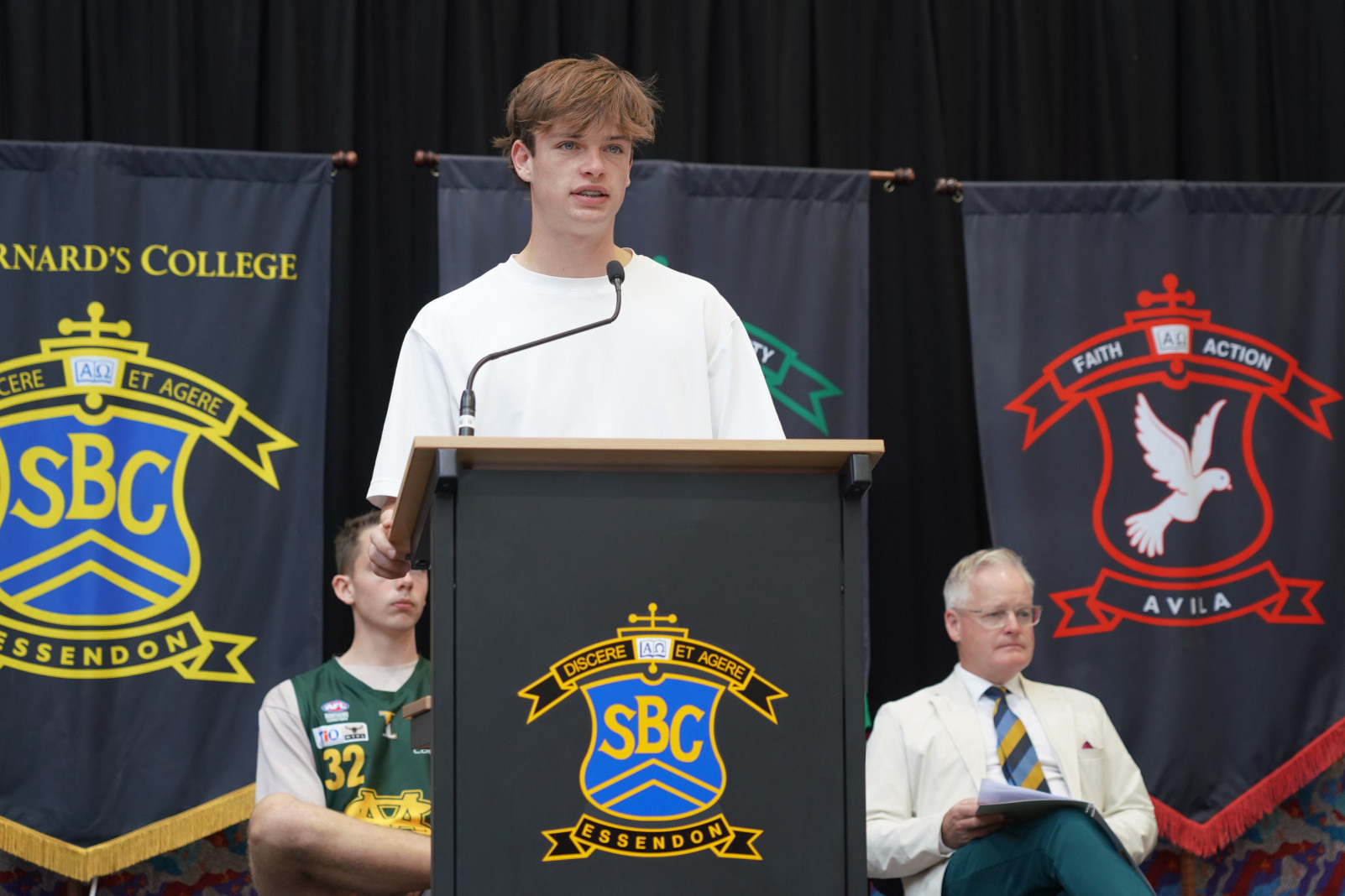
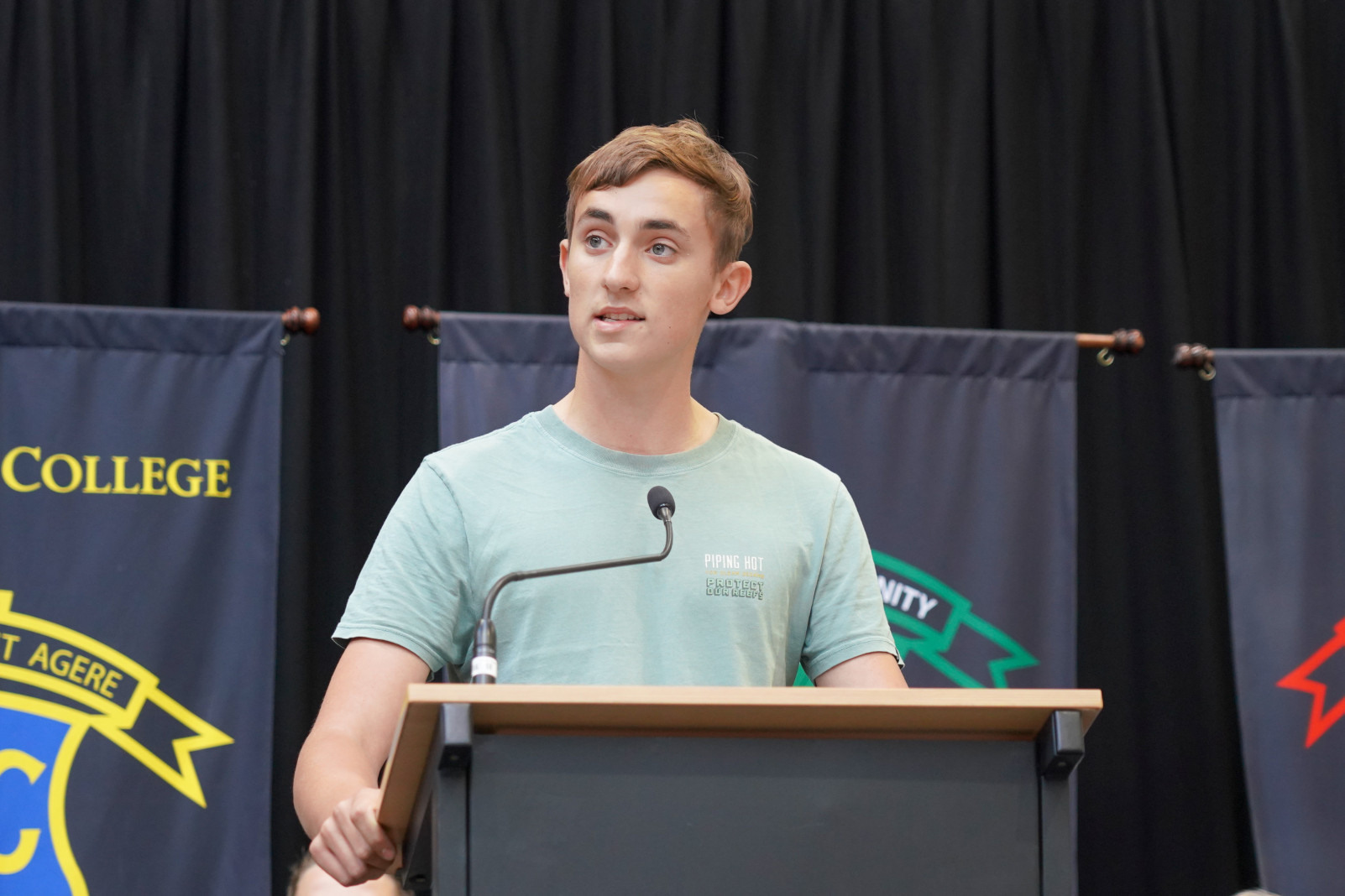
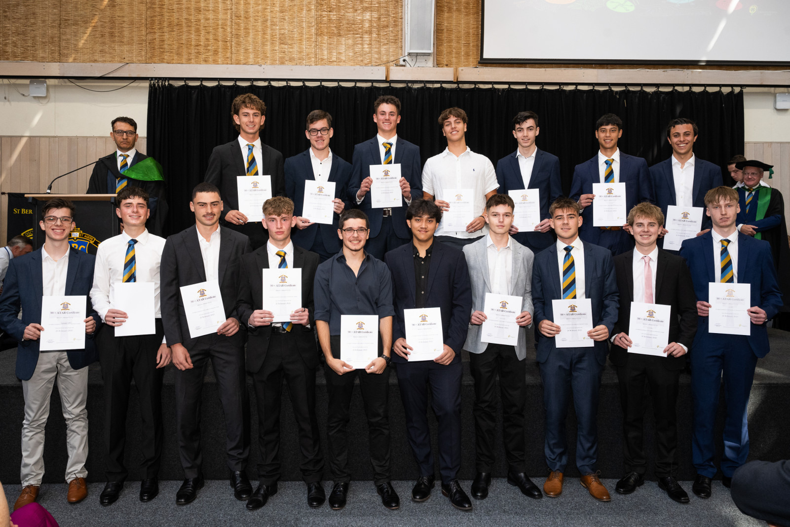
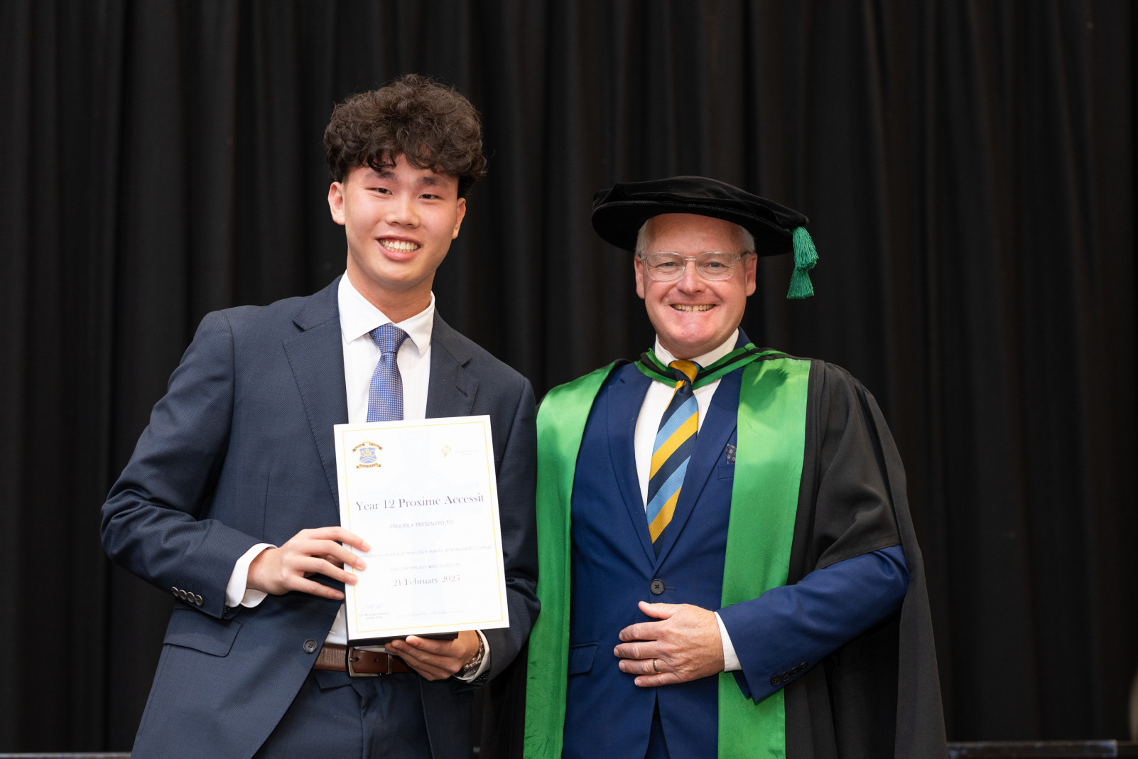
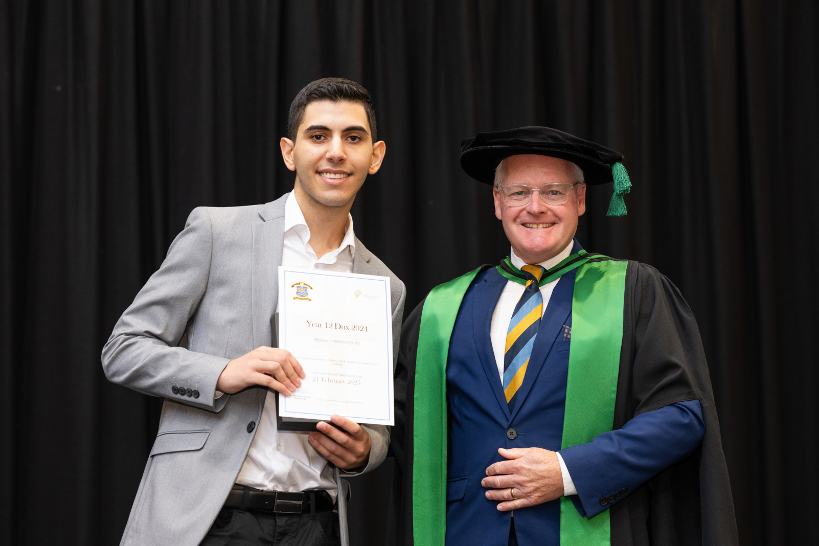
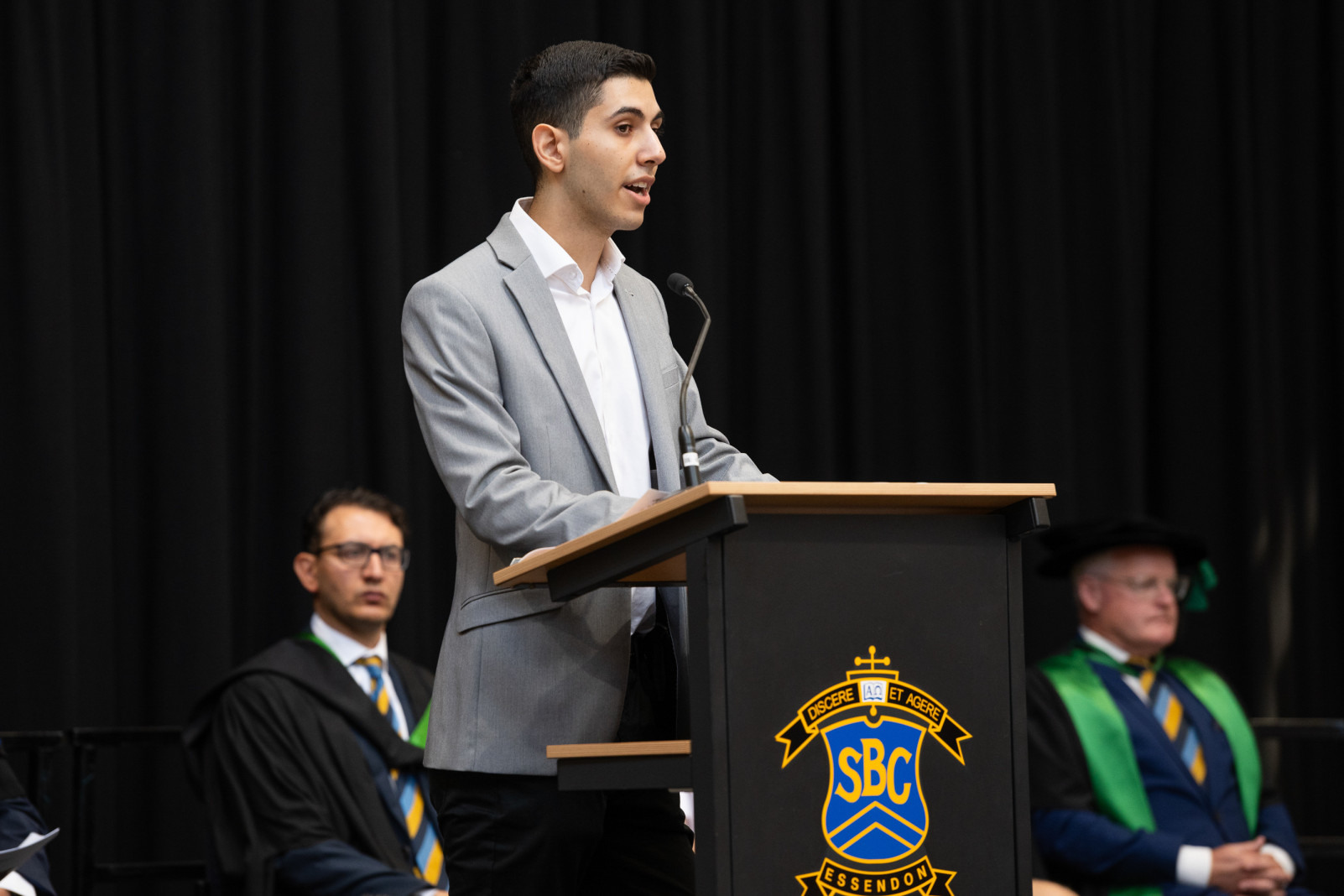
The ambience was further enriched by a performance from the College Symphonic Band, which captivated the audience with their rendition of “Dreamscape,” showcasing the remarkable musical prowess cultivated within the College community. High-achieving students were recognised for their exemplary performance, including those who achieved an ATAR of 90 or higher, along with the Proxime Accessit, Vincent and College Dux, Sebastian Khoury. In his inspiring address, Sebastian highlighted the significance of grit and personal motivation in navigating the challenges of academic life, reflecting on the invaluable support he received from the St Bernard’s community.
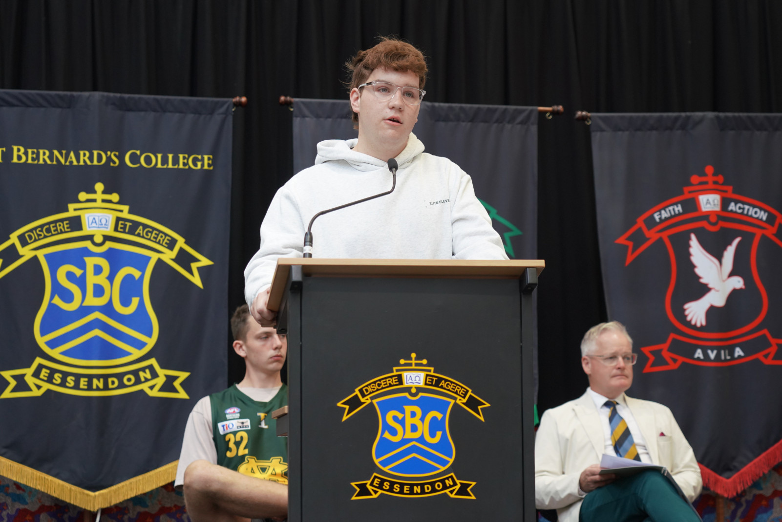
Additional accolades included the VCE Vocational Major Student of the Year Award, highlighting a student’s exceptional contributions in applied learning environments and structured workplace experiences. The St Bernard’s College Baccalaureate Student of the Year Award celebrated the achievements of a student from this pathway program who exemplified a commitment to academic excellence and a positive approach to learning.
The assembly concluded with a delightful morning tea hosted by the Welcome Community Group, offering a wonderful opportunity for award winners and their families to connect and reminisce with staff and fellow graduates. This gathering is a representation of the robust sense of community that defines St Bernard’s College, reinforcing the profound impact of collaboration and support in the pursuit of academic excellence.
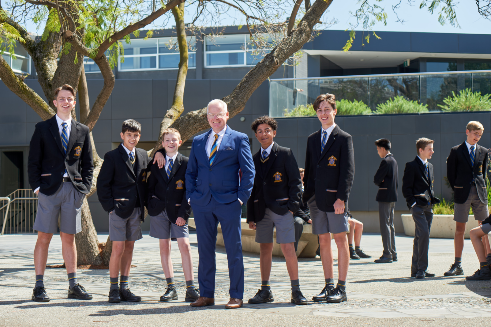
As St Bernard’s College looks toward the future, it remains steadfast in its commitment to nurturing the talents and aspirations of all its students, equipping them with the skills and resilience needed to forge their own paths to success.